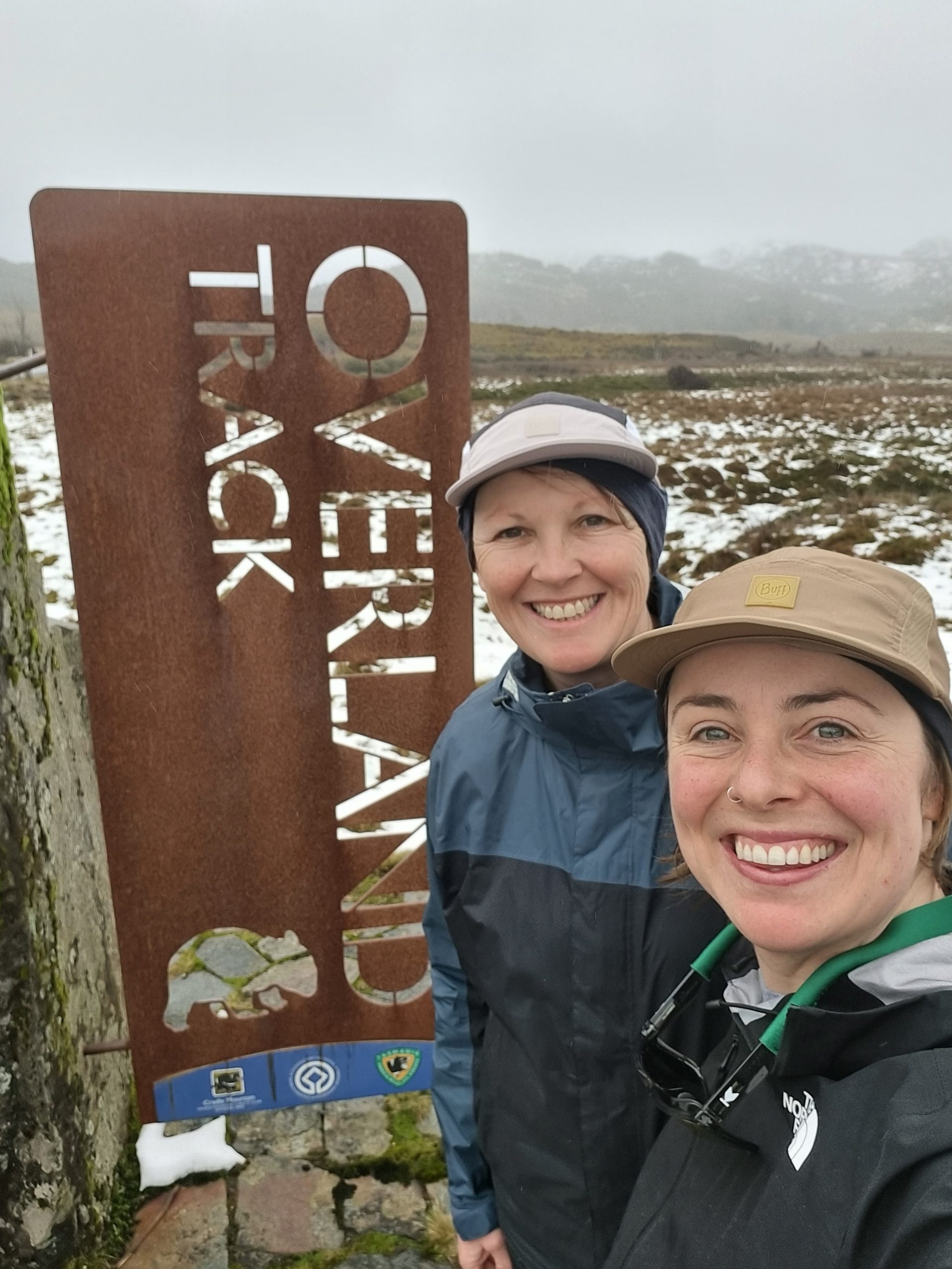
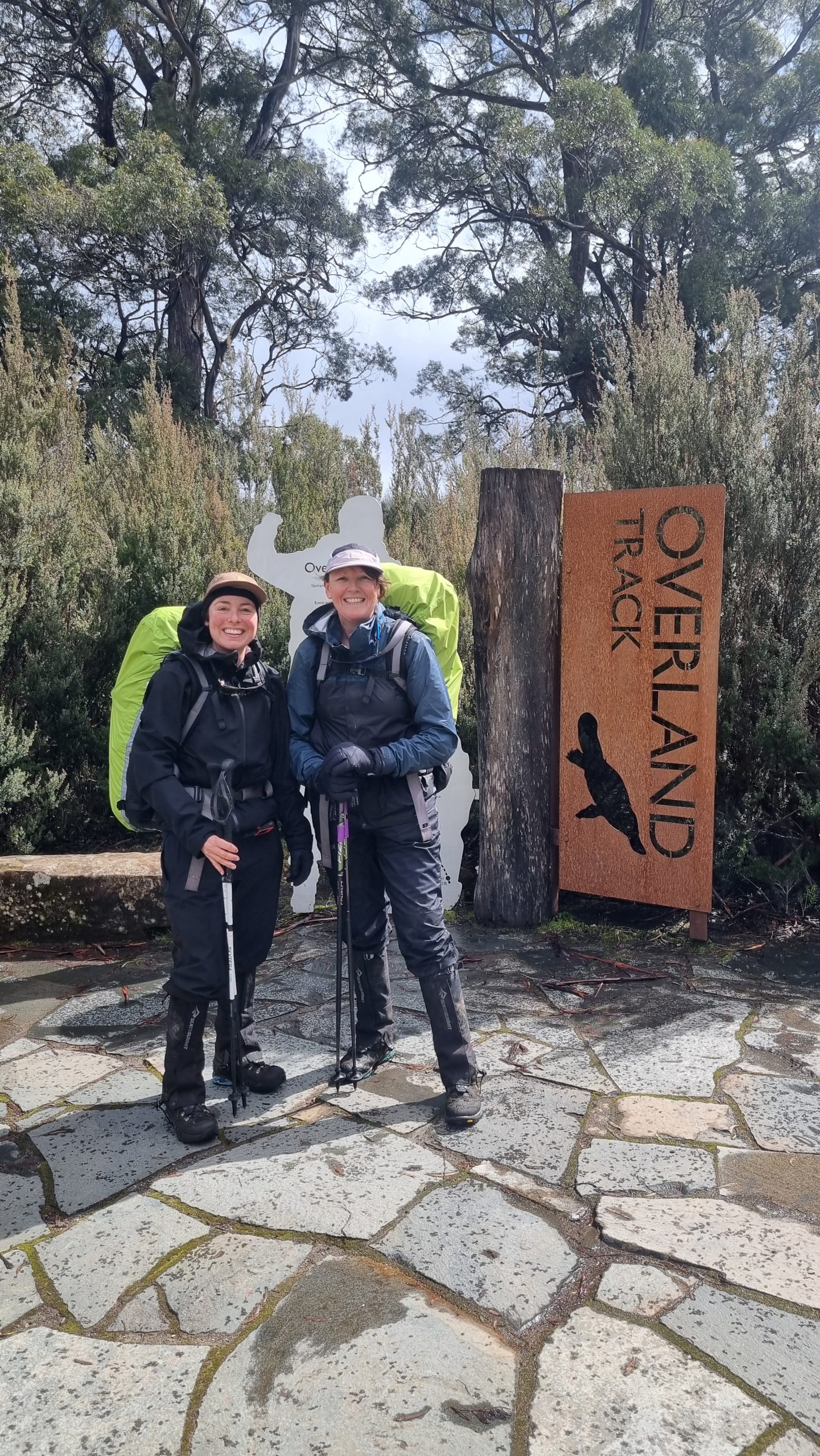
Overland Track: A wild alpine trek in Tasmania

Trek 80 km across Tasmania’s wild Overland Track — snow, peaks, ancient forests, cosy huts or camping, and an unforgettable alpine adventure awaits.

Discover Tasmania’s wild heart on a multi-day trek along the Overland Track

Over seven days in mid-September 2025, we trekked 80 km along Tasmania’s iconic Overland Track. It’s one of Australia’s most famous multi-day hikes, winding from Cradle Mountain to Lake St Clair through ancient forests, glacial lakes, and rugged alpine peaks.

Classed as a winter crossing, it was a wild journey unlike anything we’d done before.

Knee-deep snow drifts and slushy ice tested our legs, while four days of snowfall, lashing sleet, sub-zero temperatures and biting winds challenged our gear, navigation and courage.

The conditions made summiting Cradle Mountain and Mt Ossa too risky. Instead, we soaked in sweeping views of snow-blanketed valleys, buttongrass plains, grazing wombats, sparkling glacial lakes, ancient forests and snow-capped peaks.

The scenery was spectacular, the challenge immense, and the huts — incredible refuges from the elements.

Our itinerary

On 18 September 2025, we kicked off an 80km winter crossing of Tasmania’s famed Overland Track. The journey quickly diverged from what we had imagined. Instead of summiting Mt Ossa and Cradle Mountain or taking a side trip to Pine Valley (home to the Acropolis and the Labyrinth), we followed snow-covered trails weaving between these white-capped giants. We soaked in the winter wonderland, gushing waterways, and shared warm moments with fellow trekkers in spectacular alpine huts.

  • Day 1: Waldheim Chalet → Waterfall Valley Hut | 5.5 hrs | 10.4 km
  • Day 2: Waterfall Valley Hut → Windermere Hut | 2.25 hrs | 7.8 km
  • Day 3: Windermere Hut → New Pelion Hut | 5.45 hrs | 16 km
  • Day 4: New Pelion Hut → Kia Ora Hut | 4 hrs | 10 km
  • Day 5: Kia Ora Hut → Windy Ridge (Bert Nichols Hut) | 5 hrs | 10.6 km
  • Day 6: Windy Ridge (Bert Nichols Hut) → Echo Point Hut | 5 hrs | 16 km
  • Day 7: Echo Point Hut → Cynthia Bay | 3 hrs | 10 km
  • Total distance: 80.8 km

Lessons learned

  • Snow makes navigation tricky, hiding trails, markers and footprints. A mobile GPS app (we used Gaia) was invaluable and easier than a map in strong winds.
  • Trekking poles and microspikes hugely improved our stability on snow and ice (stoked we had them).
  • Not all shells are equal — check the waterhead rating (aim for 20,000 mm+) and breathability. Test before you go.
  • Merino stays warm even when damp — perfect as a base layer (far better than cotton).
  • A PLB is essential, but a satellite phone is better for daily weather updates and go/no-go decisions.
  • Bring 1–2 extra days of food in case you need to wait out a storm.
  • Prioritise your sleeping bag’s comfort rating over weight, and consider a liner for extra warmth.
  • A hot meal at the end of the day is a game changer — pack food you love.
  • Fuel your body even if you’re not hungry. Keep easy snacks in your pockets for bad-weather days (when lunch is difficult).
  • Know the early signs of hypothermia — shivering, slurred speech, loss of balance — so you can act quickly. And have a plan to get warm (i.e. setting up your tent or emergency bivvy).
  • Triple-protect your dry camp clothes and sleeping bag with a liner, pack cover and dry bags (avoid plastic liners, as they can tear).

Key facts & figures

The Overland Track is a bucket-list Tasmanian adventure where jagged peaks, glacial lakes, mossy rainforests and wild alpine weather collide — delivering an unforgettable week of raw, untamed wilderness.

  • Distance: ~65 km (without side trips)
  • Duration: 5–6 days (most walkers)
  • Trail type: End-to-end
  • Difficulty: Moderate Grade 4)
  • Permit: Paid permit in peak season, unpaid in off peak
  • Season: October–May
  • Total elevation gain: ~3,000 m (varies with side trips, like Ossa)
  • Highest point: 1,120 m on main track (or 1,617 m Mt Ossa side trip)
  • Water: Streams, lakes, alpine tarns & tanks
  • Camping style: Huts and tent platforms
  • Infrastructure: Huts (toilets, tanks, heating, and sleeping platforms), extensive boardwalks,environment, trail markers
  • Mobile reception: Almost none, occasional signal on high points

Transport & logistics

Start & end points
Track begins at Cradle Mountain and finishes at Lake St Clair (although hikers can walk either direction in winter).

Getting to the trailhead
There are few different ways to tackle transport – shuttle or private car.

  • Several commercial shuttle services operate, especially during peak walking season , with Launceston being the most popular departure point as its closer (and often cheaper). The shuttle companies offer two-way transfers, as well as one-way transfers to Cradle Mountain for those leaving their car parked at Lake St Claire. This is a popular option with walkers coming from Hobart. Booking transport well in advance is recommended in peak season.
  • For those starting in Launceston and finishing in Hobart, you could combine a one-way shuttle transfer to the trailhead and cheap public bus runs regularly from Lake St Clair to Hobart
  • If your group has two vehicles, you can do a car shuffle, leaving one vehicle at each end of the Overland Track. Note, driving between Lake St Clair and Cradle takes about three hours and is super windy.
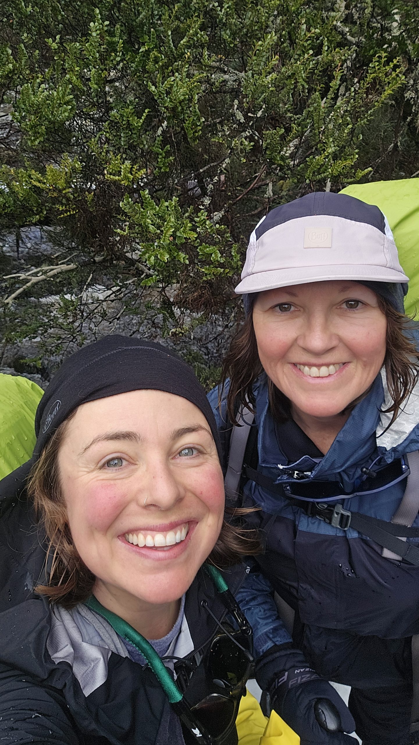
  • We connected with another duo on the Overland Track Facebook group and lined up a unique car shuffle that involved us picking them up from Hobart and dropping them to Lake St Claire, then heading to Cradle, where we left our car at the Waldheim Cabins and began our trek. The duo then jumped in our car when they were done and picked us up from Lake St Claire. This only worked as we were hiking SOBO and NOBO – a winter allowance only.


Shuttle operators

The Overland Track is a well-oiled machine, with many businesses offering shuttle services for hikers. Note. If hiking off-season, check opening dates for shuttle operations, as some services are seasonal


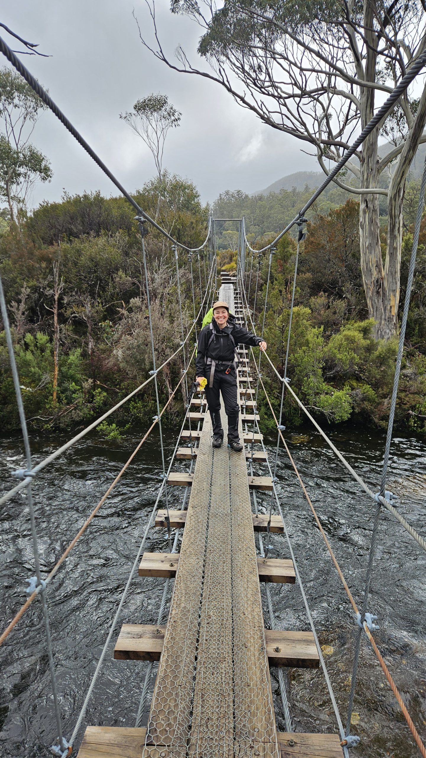
Ferry to
Cynthia Bay

Most hikers choose to hop on the ferry from Narcissus Hut to the official finish at Cynthia Bay. It costs around $55 per person (depending on passenger numbers) and can be booked via +61 3 6289 1137 or frontdesk@lakestclairlodge.com.au.

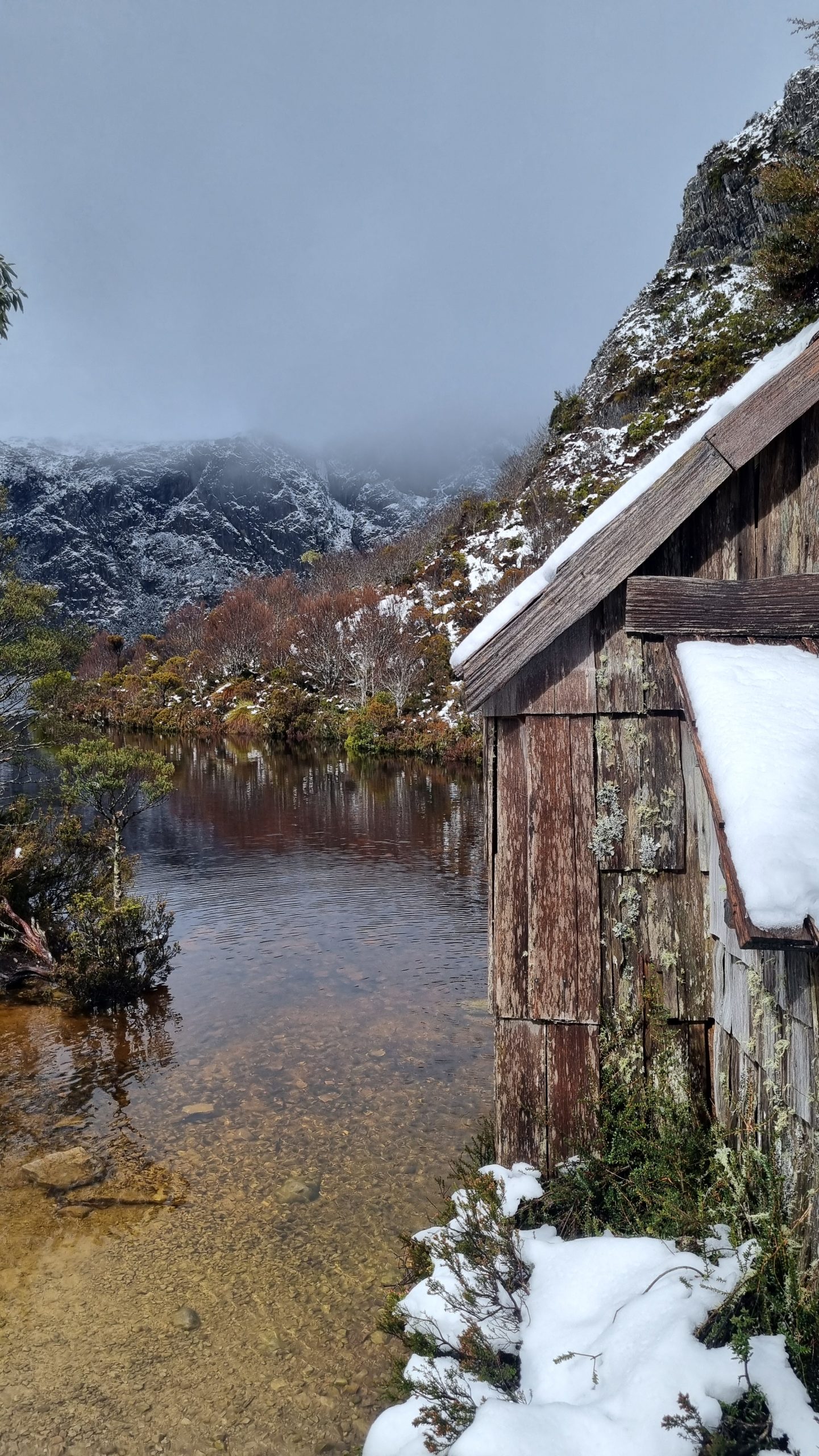
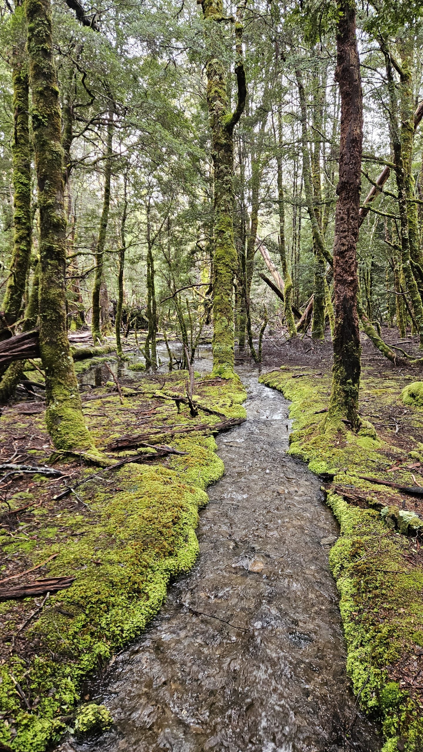
We decided to walk instead, adding an extra 17.5km through lush, ancient rainforest — and we’re so glad we did. The track was absolutely stunning and meant we could spend a night at the rustic Echo Point Hut, complete with a friendly bush rat and a crackling coal-fired heater.
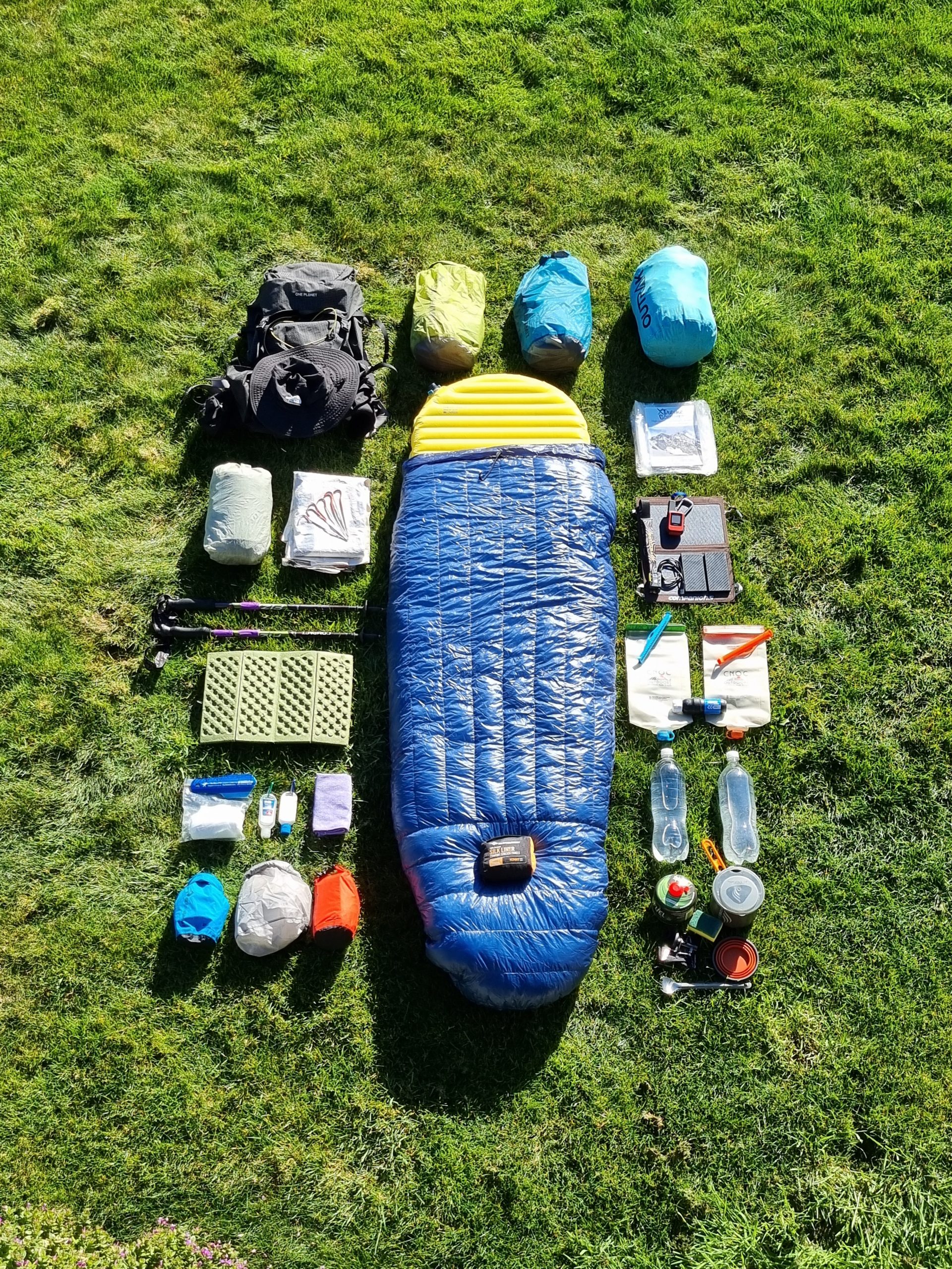
Gear hire
Don’t want to haul all your gear from home — or need a few last-minute essentials? No problem. Wild Island Adventures can kit you out with backpacks, sleeping bags, trekking poles, apparel and even shuttle you to the trailhead. Launceston stores like Aspire Adventure Equipment stock tents, mats and all the essentials, while Backpackers Equipment Hire fills in the gaps. Need a PLB? Hire one from Parks & Wildlife Service. Book ahead, pack smart, and hit the Overland Track ready for anything — rain, snow, or pure wilderness magic.

Pre & post trail accommodation
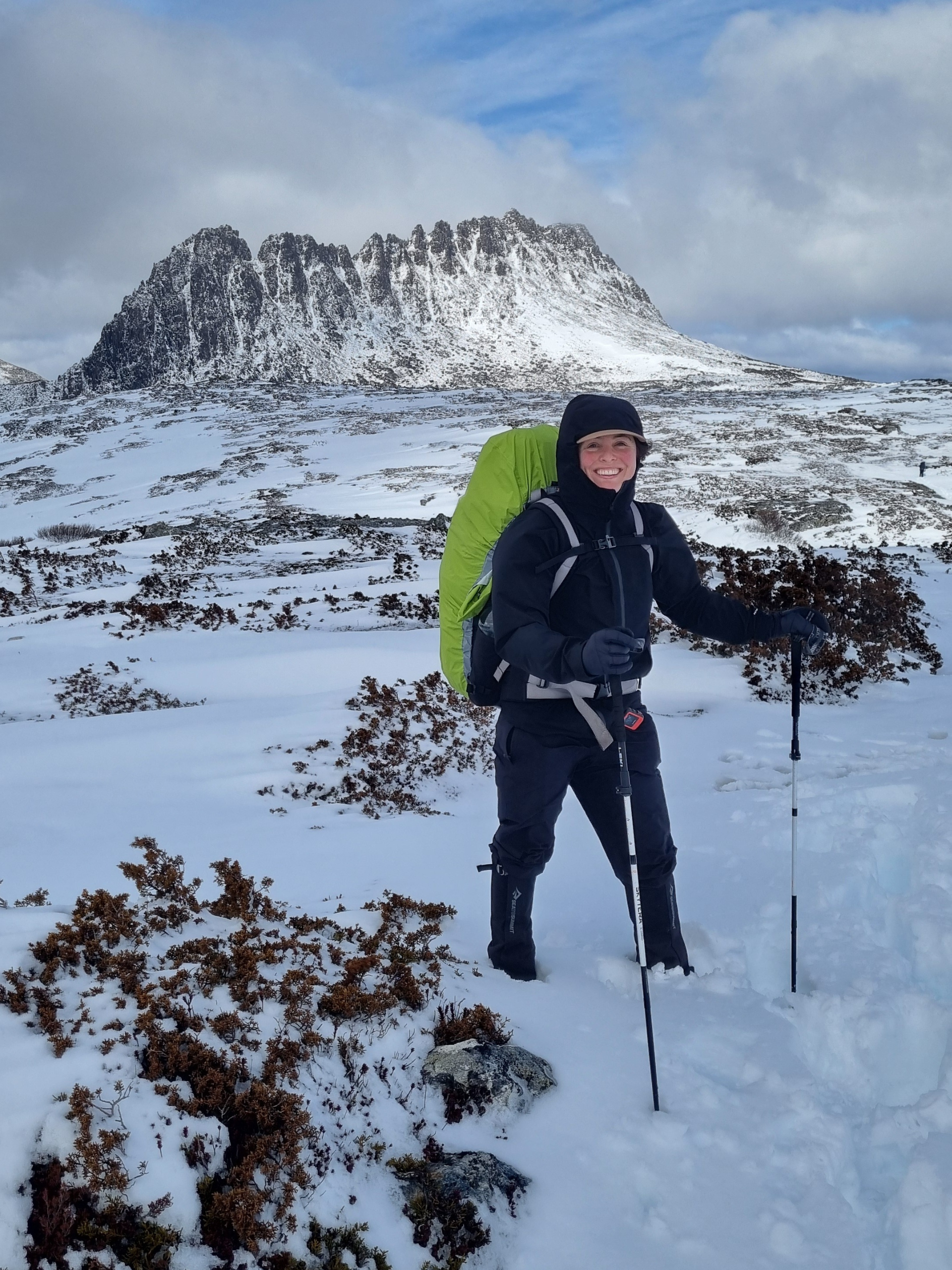
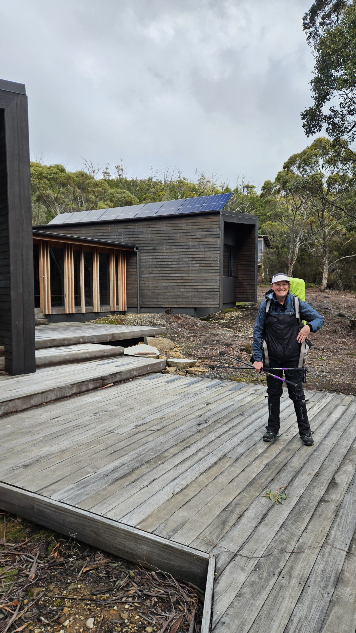
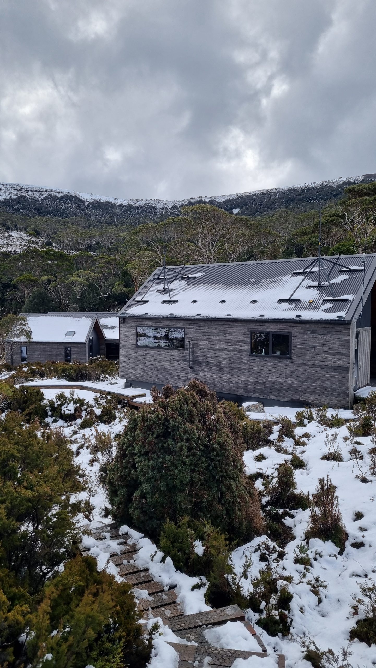
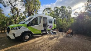
Spending the night before your hike at one of the accommodation options near Cradle Mountain gives you plenty of time to check in at the visitor centre, catch the Cradle Shuttle Bus (which departs regularly from the visitor centre to the Ronny Creek trailhead, about 7 km away), and hike 4 to 6 hours to the first hut at Waterfall Valley. For other accommodation options in the Cradle Mountain area, see Discover Tasmania website. We spent the night at Discovery Resorts – Cradle Mountain and enjoyed a beautiful roaring fire in their camp kitchen.

For those finishing the Overland Track, Lake St Clair Lodge and Lake St Clair Tourist Park are popular and convenient choices, offering everything from luxury beds to cosy, no-frills stays with hearty meals and a welcoming vibe. For a quick refresh before jumping into your car or shuttle, the Visitor Centre offers free shower facilities for hikers — just grab the key from the centre.

We relished a hot shower (and hot chips) before setting off for Hobart.

Trail highlights

  • Climbing to Marion’s Lookout for sweeping views of Crater andDove Lakes and Cradle Mountain
  • Watching Cathedral Mountain transform under fresh snow from the warmth of Kia Ora Hut
  • Crossing Pelion Gap with Mount Ossa and Pelion East rising like giants beside us
  • A cosy overnighter at the rustic, coal-fire heated Echo Point Hut
  • Wandering deep through ancient forest along the shores of Lake St Clair
  • Being showered by the thundering waters of D’Alton andFerguson Falls
  • Spotting wombats, pademelons and wallabies sauntering through the snow

Why hike the Overland Track?

  • Epic scenery: Traverse Tasmania’s rugged wilderness, from ancient forests and alpine peaks to glacial lakes and buttongrass plains.
  • Iconic trail: Walk one of Australia’s most famous multi-day hikes — a bucket-list adventure for any hiker.
  • Wildlife encounters: Spot wombats, echidnas, Tasmanian devils, and abundant birdlife in their natural habitat.
  • Alpine challenge: Test your skills and endurance on a trail that offers snow, steep climbs, and ever-changing conditions.
  • Rustic experience: Stay in remote huts, hike boardwalks over wild terrain, and embrace self-sufficient backcountry living.
  • Unforgettable memories: Bond with fellow trekkers, witness epic sunrises and sunsets, and immerse yourself in a winter or summer wilderness adventure.

Skill level & preparation

To tackle the Overland Track safely and enjoyably, you should be comfortable with:

  • Multi-day hiking with a full pack over rugged- and often wet and slippery – alpine terrain, including long climbs and steep descents
  • Navigating with maps, trail notes, or GPS apps— especially important when the track is covered in snow
  • Dealing with rapidly changing weather, from wind and rain to snow(snow can fall at any time of year)
  • Being self-sufficientand carrying all your supplies, including food and gear
  • Having asafety plan in place, including a Personal Locator Beacon (PLB) and a strategy for cold-weather emergencies (mobile reception is limited)

Permits & bookings

Permits, parks passes & shuttle tickets
Summer
(1 October – 31 May): If walking the Overland Track during the official ‘summer’ season bookings are mandatory and attract a fee ($300 per adult). The booking fee includes both park entry and shuttle access from the Cradle Mountain Visitor Centre to the trailhead. A Tasmanian Parks Pass is not required.
Winter (1 June to 30 September): In winter, registrations are required but do not incur a cost. However, you will need a valid Tasmanian Parks Pass and a shuttle ticket if you plan to use the Cradle Mountain shuttle service.

How and when to book
Bookings open the first Tuesday in July for the upcoming season and can be made online via the Service Tasmania website.
Booking early is essential during peak season — passes sellout quickly.

Direction
During the official season, walkers must travel in the north-to-south direction. In winter, walkers are free to hike in either direction.

Huts
Huts on the Overland Track cannot be booked. They’re available on a first-come, first-served basis.

When to go

This really comes down to personal preference. If you’re aiming for summit climbs and more reliable, finer weather, summer is a solid option — and is what most people opt for. If you are chasing a true alpine adventure and are prepared for the conditions, the cooler months would be your best best.

  • Best time: Summer (December–February)
    Why: The weather is more stable, long daylight hours, but also the busiest time.
  • Avoid: Winter (June–August) *unless your prepared
    Why: Snow and ice can make sections treacherous, roads to the trailhead may be closed, and navigation is much harder — not for the faint-hearted.
  • Shoulder Season options (March–April/Oct–Nov)
    Why: table weather, stunning autumn colors, fewer crowds, but colder nights.

How it compares

  • Vs. Larapinta Trail (NT)
    Twice as long, winding through desert gorges and red dirt landscapes — a stark contrast to Tassie’s alpine forests. Weather still rules, but heat exhaustion and dehydration are the main risks. Shelters and bush camps, rather than huts. Water is harder to source.
  • Vs. Cape to Cape Track (WA)
    Long treks over soft beach sand instead of steep climbs and rugged peaks. Far less remote, with several towns along the way. Water requires more planning. Bush camps or caravan parks rather than huts.

Final word: Who this trail is for

The Overland Track is for hikers who want to be surrounded by spectacular alpine wilderness, whether you prefer the comfort of cosy, social huts or the adventure of camping under the stars. It’s for those ready to spend days immersed in Tasmania’s wild, remote landscapes, embracing rapidly changing weather, rugged climbs, and the freedom of self-sufficient hiking. With many peaks along the way — including Tasmania’s tallest, Mt Ossa — it’s perfect for hikers keen to bag a few. In winter, for the adventurous and well-prepared, it offers an unforgettable and challenging alpine experience.

Handy resources

Here’s some key resources to help you plan your Overland Track adventure:

Official trail info
Overland Track Trip Planning – Trail sections, planning tips & safety guidance

Facebook group
Overland Track Tasmania group – Trip reports, advice, and logistics tips

Navigation & maps
Map and Guidebooks – The Overland Track Walking Map and Visitor Guide (published by PWS) may be purchased as a bundle at the time of booking, or from the TASMAP online shop. The guidebook contains walk notes, pictorial maps, notes on park history and geology.
GPS phone apps – We used Gaia (very infrequently, when faced with snow covered trails, others commonly used apps include All Trails)

Overland Track Booking Team
Phone: 1300 827 727 | Email: OverlandTrack@parks.tas.gov.au

Weather apps:
In planning, we utilised YR (highly accurate and detailed hourly forecasts) and Mountain Forecast (provides forecasts at elevation). On trail, we used our Garmin Satellite phone service for daily updates. It’s worth noting, many hikers relied on us for updates.

Essential pack list

Check out our complete hiking pack list, fine tuned over 6+ years.

Chasing more epic trails?

Explore our other Australian hiking guides — from rugged alpine tracks to remote coastal walks and desert treks.

Each guide includes practical tips, itineraries and planning advice to help you hit the trail with confidence.

Share:

More posts

Want to roam with us?

Sign up to receive our latest travel stories, tips, tricks and destination guides.

Want to roam with us?

Sign up to receive our latest travel stories, tips, tricks and destination guides.

We honour the ancient cultures of the First Nations peoples whose land we travel.

Copyright © Franky Roams | 2026 | All Rights Reserved