After a fond farewell with the couple from last night and a chat with two Timbertop teachers about reliable water sources, I hit the trail at around 7.15am.
After rejoining the AAWT track from the hut spur trail, I walked over rolling golden, treeless mountains, illuminated by the rising sun. I could hear the crunch of ice underfoot, with grasses and bushes frozen stiff from the cold night – potentially my coldest on trail.
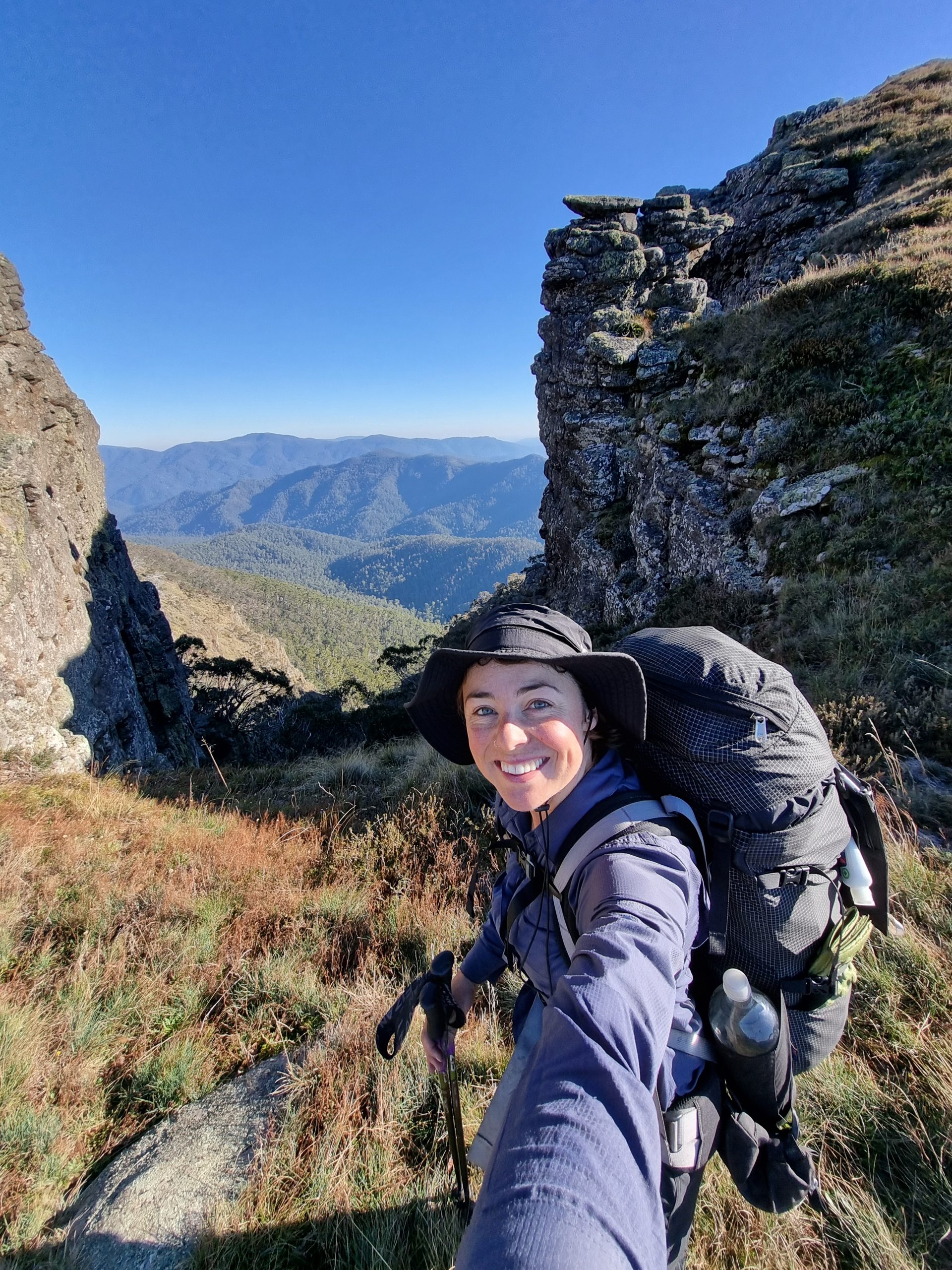
Before I knew it I was on the summit of Mt Howitt (1,742m), enjoying sensational views from every angle.
The foot track was easy to follow, and rose and fell as it crossed the rolling terrain. While the track was lined with dens vegetation on either side, it thankfully wasn’t overgrown.
I took the scenic longer route via Mt Magdala (1,720m) and Hells Window, and was rewarded with more incredible views, but opted for the alternate 4WD track around the twin peaks of King Billy with a large day ahead. On this track I met a lovely deer hunter who gifted intel about water sources.
The track stayed high and offered views to the west of peaks I would soon encounter, including Mt Clear, Square Top and High Point. I also spotted my first rainbow lorikeets on trail, and another of my favourite bright orange breasted little birds.
I stopped off at Chesters Yard to replenish my water supplies for the dry stretch ahead. The stream had a decent trickle and I filled up five litres which I was to lug over the next 10km.
The track up to Mount Clear (1,695m) was generally okay to follow, with just a few obscure points that required GPS cross-checking. But I celebrated reaching the peak three times, with two earlier large directional cairns fooling me into thinking I’d reached the top.
It was feeling like a pretty easy going day in terms of trail difficulty, until I made my way up to Square Top (1,598m). Before I realised it, I had accidentally taken the old track which was heavily overgrown – think total jungle!
I tried to make my way to the new route across the ridge, but ended up bush bashing into a hectic no-man’s land, so opted to return to the old trail – heaving myself over, under and through thick vegetation. Fark my life! This section was absolutely on par with Buckwong Creek for nightmarish terrain.
From here, I made the gruelling ascent to High Cone (1,490m), where every time I thought I’d reached the summit, it just kept climbing. When I finally made it to the top, I instinctively followed a 4WD track down from the crest, but upon consulting my GPS, it’d led me down the garden path.
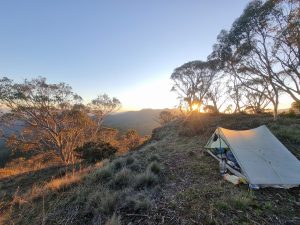
With just an hour’s daylight left, I bush bashed closer to the trail, but with fading light I struggled to discern the trail down to the saddle, where I had intended to camp. After stacking it and cutting my leg on a rock, I decided to pull up stumps for the night and set up camp on a flattish patch of earth just below the summit.
In the end, it was a great outcome as I got to enjoy a ripper sunset and sunrise high on the range, with incredible views of the surrounding mountain ranges.