Our complete guide to working on the road
When travel savings run low, working on the road can keep the adventure rolling — and give you time to truly explore places like a local.
When travel savings run low, working on the road can keep the adventure rolling — and give you time to truly explore places like a local.
We road-tripped from Adelaide to Melbourne for $1 a day. Here’s how campervan car relocations work — and the catches.
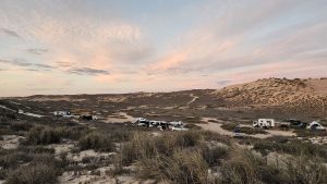
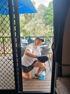
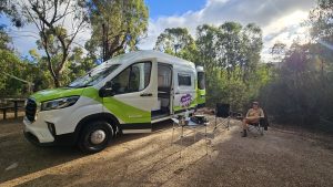
Hard-earned tips for setting up your vanlife rig, choosing the right gear, and thriving on the road in Australia.
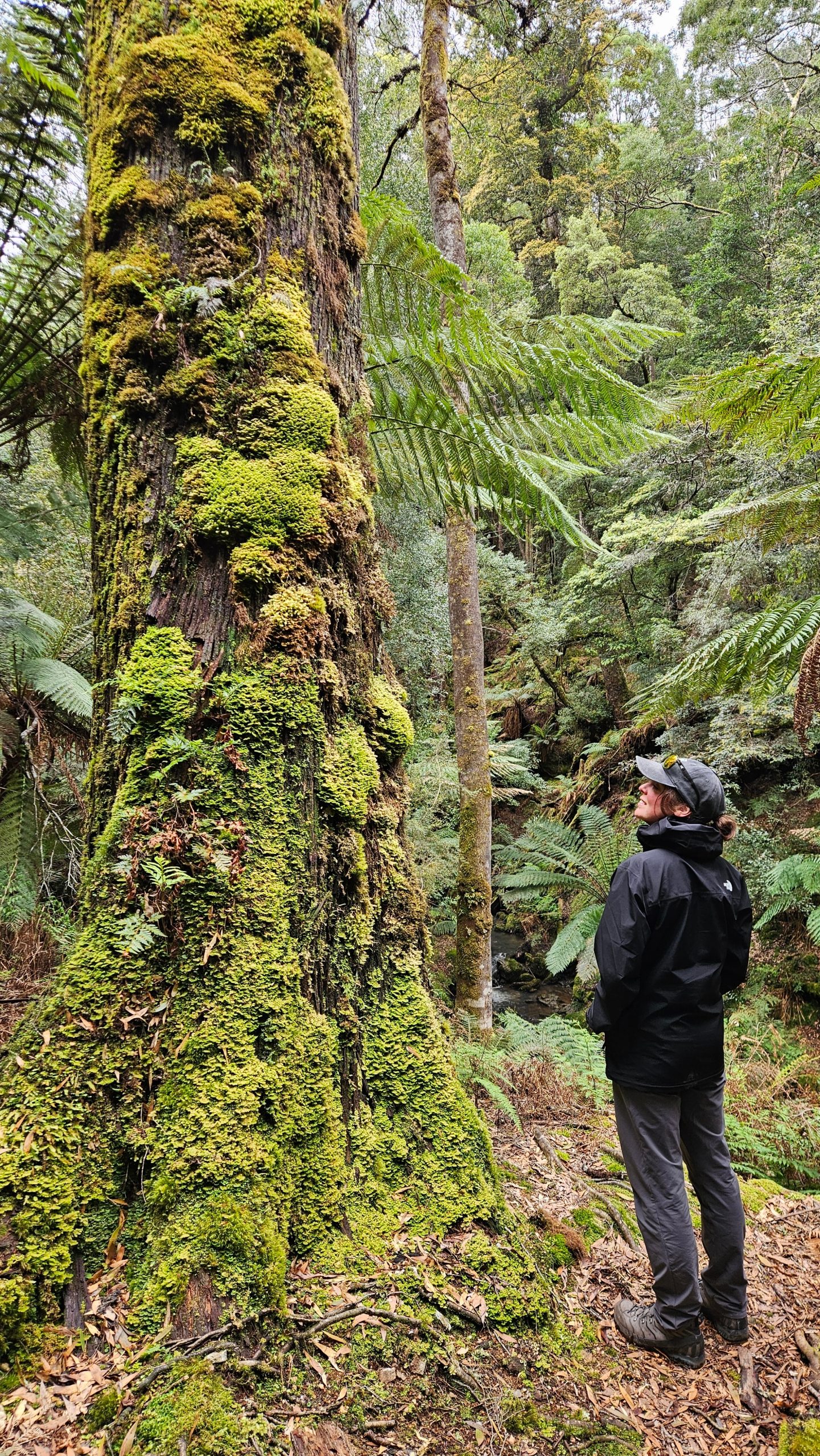
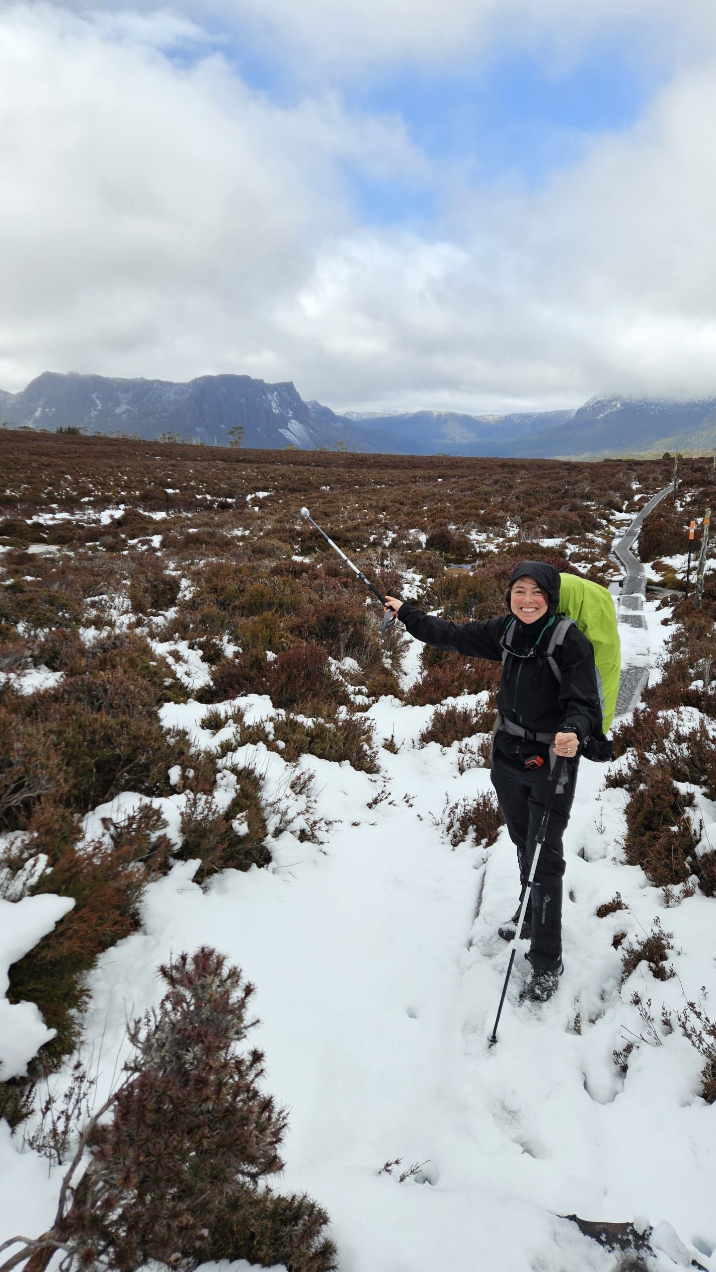
Developed and tested on some of Australia’s toughest trails and in extreme weather, these 15 hiking gear hacks will elevate your hiking experience.
